
What Does a 2024 Certificate of Survey Show About the Lot the Pillsbury Mansion Stands On?
Most of what we know about the Charles S. Pillsbury Mansion comes from blueprints, newspapers and letters. A one-page Certificate of Survey from 2024 is a different kind of document: it measures the ground the house stands on, as it exists today. The survey was drawn in late March 2024 and certified by a Minnesota licensed land surveyor on April 9, 2024, and it reads like a portrait of the lot in numbers.
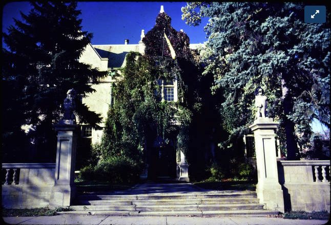
What Land Does the Mansion Sit On?
The survey describes the property as Lot 5, Pond & Pettibone’s Addition to Minneapolis, the same plat name that appears in our stories of who actually built the mansion and why Charles Pillsbury needed permission to build. The lot measures about 131.9 feet along 22nd Street East and about 136 feet along Stevens Avenue, for a gross area of 17,912 square feet, or roughly 0.411 acre. The surveyor adds a note that the firm does not insure the acreage stated in the legal description.
One small oddity: the survey lists the site address as 116 Twenty Second Street East, while the Club and the rest of this journal use 100 East 22nd Street. The survey does not explain the difference, so we simply report both.
How Much of the Lot Is Covered?
- Building footprint: 5,227 square feet, which the survey calculates as 29.2 percent of the lot.
- Concrete (drives, walks, parking): 4,136 square feet.
- Concrete walls: 444 square feet.
- Total impervious surface: 9,807 square feet, or 54.8 percent of the lot.
For comparison, the footprint is far smaller than the building’s total floor area, which an architect counted at 22,186 square feet across the floors in our floor-by-floor look at the mansion’s size.
What Does the Plan Show Around the House?
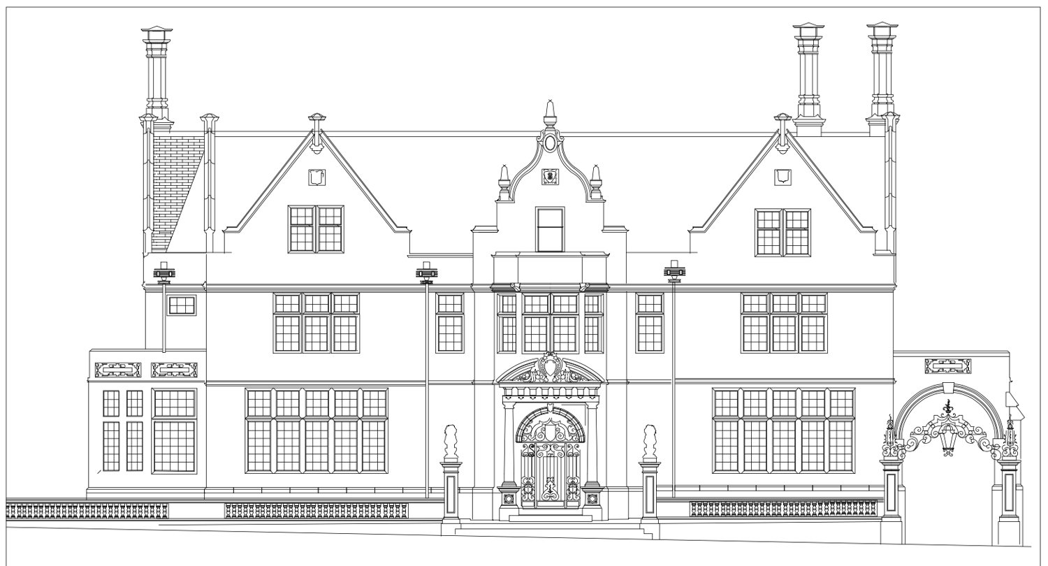
The drawing marks the mansion as the “existing building,” with its height noted as 43.0 feet. Around it, the survey picks out the pieces you would see if you walked the property today: concrete walks and stairs climbing to the side entry, a curved patio at the front corner, retaining walls, and a concrete driveway and parking area along the north edge of the lot. At the rear, the plan labels an existing garage with a patio above it.
The ground is not level. Spot elevations near the 22nd Street frontage read in the high 890s, while the rear parking area drops to about 889. The survey labels the garage floor at 889.2 and the first-floor entries at about 901, a difference of roughly twelve feet between the garage and the main floor. In other words, the mansion sits well above the back of its lot, a lot with a story of its own, as we explain in why the mansion sat unbuilt for four years.
What Does the Survey Say About Zoning and Flood Risk?
As of March 29, 2024, the survey records the zoning as RM3 (Residence and Institutional) with an Interior 3 Built Form district overlay. It lists setbacks of 20 feet from 22nd Street East, 8 feet from Stevens Avenue, and 5 feet at the side and rear, plus a height limit of 3 stories or 42 feet, a 60 percent lot-coverage limit and a 75 percent impervious-surface limit. The City’s Built Form Districts Handbook explains how those overlay rules work. The survey itself warns that zoning information may have been amended and recommends confirming it with the zoning administrator, so treat these as a 2024 snapshot. It also shows the building height of 43.0 feet beside the 42-foot figure without comment.
On flood risk, the survey places the property in Zone X, an area determined to be outside the 0.2 percent annual chance floodplain, on the FEMA map panel effective November 4, 2016. You can look up any Minneapolis address yourself at the FEMA Flood Map Service Center.
Why a Survey Matters for a Historic House
The mansion has been on the National Register of Historic Places since 1974, and every change to it is judged against the standards we describe in what rules protect the Pillsbury Mansion. A survey like this one gives architects, engineers and the city a shared set of facts: where the property lines run, how high the ground rises, and how much of the lot is already built or paved. The surveyor also cautions that utilities were shown only from visible evidence, so nothing underground is confirmed.
Want to see the lot for yourself? Walk up the front steps on a tour of the Pillsbury Club and notice how the house rises above the street. Then plan your visit at Plan Your Visit.
Keep reading: What Is the Minnesota Market at the Pillsbury Club in Minneapolis?